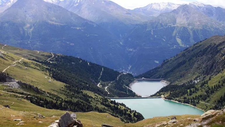
Dams of Plan d'Amont and Plan d'Aval
Route des Barrages 73500 Aussois
Tél.: Telefonnummer ansehen
Route des Barrages 73500 Aussois
Tél.: Telefonnummer ansehen
Built between 1945 and 1956, these two dams are built into the Hydroelectric Complex Haute-Maurienne and participate in particular filling the reservoir of Mont Cenis. They are located near the National Park of the Vanoise.
Fed by mountain streams, the Plan d'Amont and Plan d'Aval dams power the valley's power stations.Barrage de Plan d'Amont: this concrete gravity dam, 350 m long, is built in honeycombs and buttresses on the glacial lock that obstructs the valley. It has a reservoir capacity of 8,000,000 m3, twice that of the Plan d'Aval, and collects all the water from the Saint-Benoît, capturing the catchment area bounded by the Rateau d'Aussois, the Col de la Masse, the Pointe de l'Echelle, the Col d'Aussois, the Pointe de Labby and the western foothills of the Dent Parrachée.
The water is turbined in a small power station called "Plan d'Aval", hidden at the bottom of the talweg, before being discharged into the Plan d'Aval reservoir.
They are also the perfect place for a pleasant stroll or a spot of fishing. Public domain.
Dogs are welcome, but part of the hiking trail around the Plan d'Amont is part of the Vanoise National Park, where dogs are not allowed, even on a leash.
Merkmale
Fahrradgarage Nicht
Lunchpaket Nicht
Aufladen für Elektrofahrräder Nicht
Diese Einrichtung bietet spezielle Dienstleistungen für Radfahrer an.
Contact par mail
* Pflichtfelder
