Roselend 73270 Beaufort
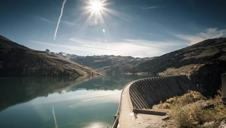
Along with the dams of Gittaz and Saint Guérin, the Roselend Dam feeds the hydroelectric plant of La Bâthie. Located in the heart of the mountain pastures, near Mont Blanc, it is a beautiful site for fishing and hiking. This is the 4th highest dam in France.
Built between 1955 and 1962, it required 942, 368m3 of concrete poured at a daily rate of 1,500 to 2,000m3. Arch-gravity structure and buttress type dam (150m high, length 804m). Surface of the reservoir: 320 hectares. Depth: 130m. Volume of the reservoir: 187 million m3. 2,600 workers worked day and night on the site in harsh conditions. The Ste Marie Madeleine Chapel was rebuilt on the shore of the lake before the impoundment of the dam. The Roselend hamlet was submerged on May 6th, 1960, and 15 of the 54 pastures were swallowed up. The Route des Grandes Alpes crosses this magnificent alpine site to join the Tarentaise valley (excluding during heavy snow, when the road is very narrow). This dam holds a reserve of renewable energy equivalent to 500 million Kwh.Merkmale
Fahrradgarage Nicht
Lunchpaket Nicht
Aufladen für Elektrofahrräder Nicht
Diese Einrichtung bietet spezielle Dienstleistungen für Radfahrer an.
Contact par mail
* Pflichtfelder
